CrimsonPhantom

CUSA Curator


Posts: 62,803
Joined: Mar 2013
Reputation: 3193
I Root For: NM State
Location: |
An Ode to Paper Maps
Quote:It was an exceptionally dark night in Ruidoso, New Mexico, and I was riding in a car crawling down a narrow, lightless alleyway on my way with family to get dinner. “Turn right at the next street,” came a voice from the back seat. The driver did so, entering an equally dark and dingy byway, this one gravel.
“Why are we driving around on these back streets?” I said in frustration. No one in the car knew Ruidoso; we were on a family getaway to the pretty mountain town.
“Google Maps is taking us to the restaurant,” came the reply from my niece, waving her phone, again from the back seat.
“Why couldn’t we just get on the main drag?” I said. “The restaurant is right in the middle of town.”
“Google Maps says this is shorter.”
Google Maps. Sadly, the megalithic purveyor of instant knowledge, Google, has, through this very popular app, become such a powerful force in our everyday lives that, simply by its say-so, it can impel otherwise intelligent travelers to abandon common geographical sense and, in our case, clamber at 3 miles per hour over washboarded and potholed streets in a New Mexico mountain town. Like all the other features provided by the online behemoth — Google Earth, Google Workspace, Google Play, Google Shopping — this cartographic application is meant to make life easier.
And, truth be told, it and its digital fellows fulfill that task quite nicely. Millions of geographically challenged souls get lost a lot less frequently with Google Maps. Millions who don’t know north from south and couldn’t read a scale of miles to save their lives can now easily navigate from point A to point B without stopping at a lot of Circle Ks to ask directions. Millions of people are late to events a lot less often by employing GPS.
But there are those who lament this mass capitulation to digital mapping, for it endangers, and makes marginally unnecessary, the need of normal people to acquire at minimum passing proficiency at utilizing one of the great technological inventions of all time: paper maps.
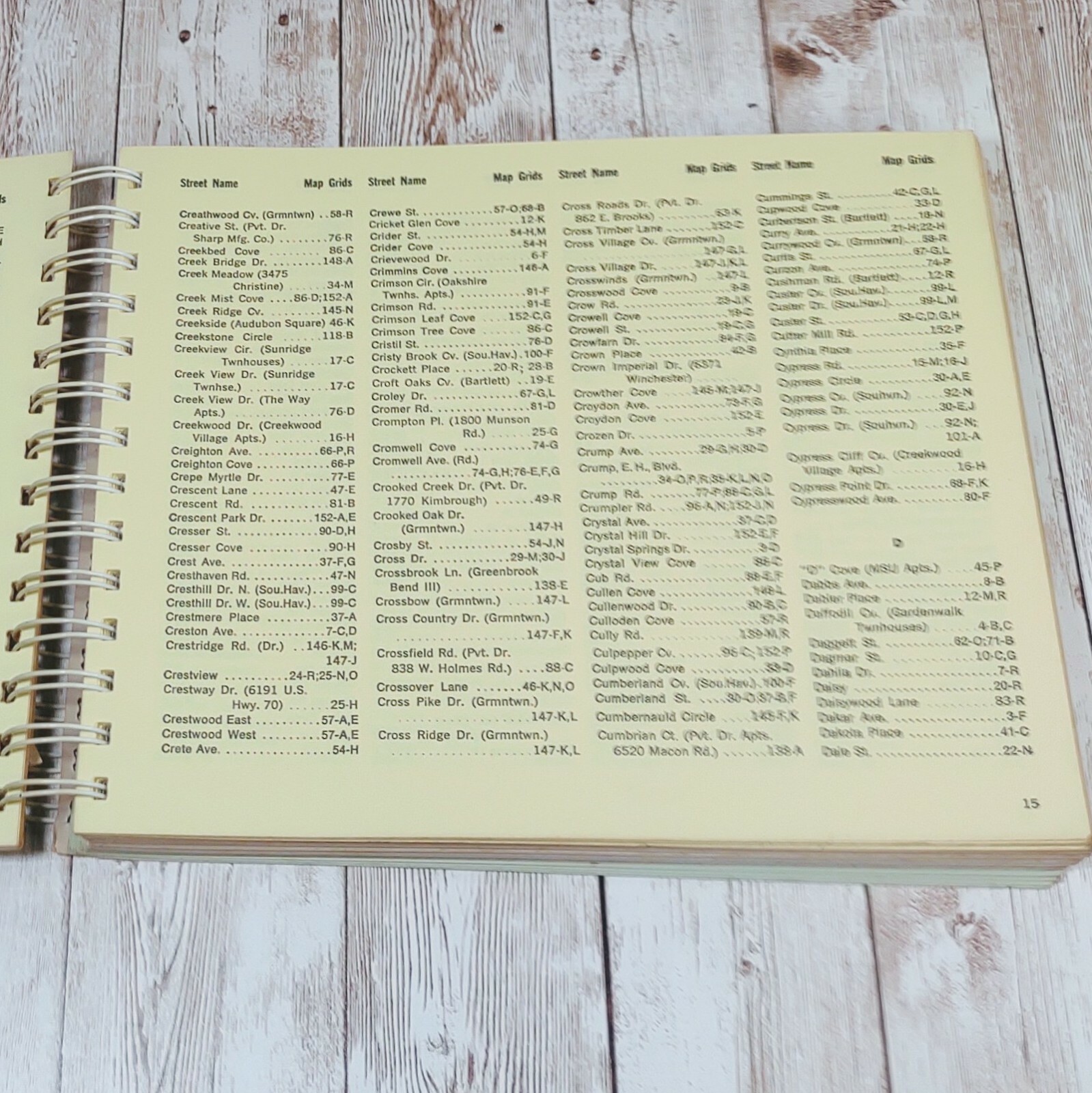
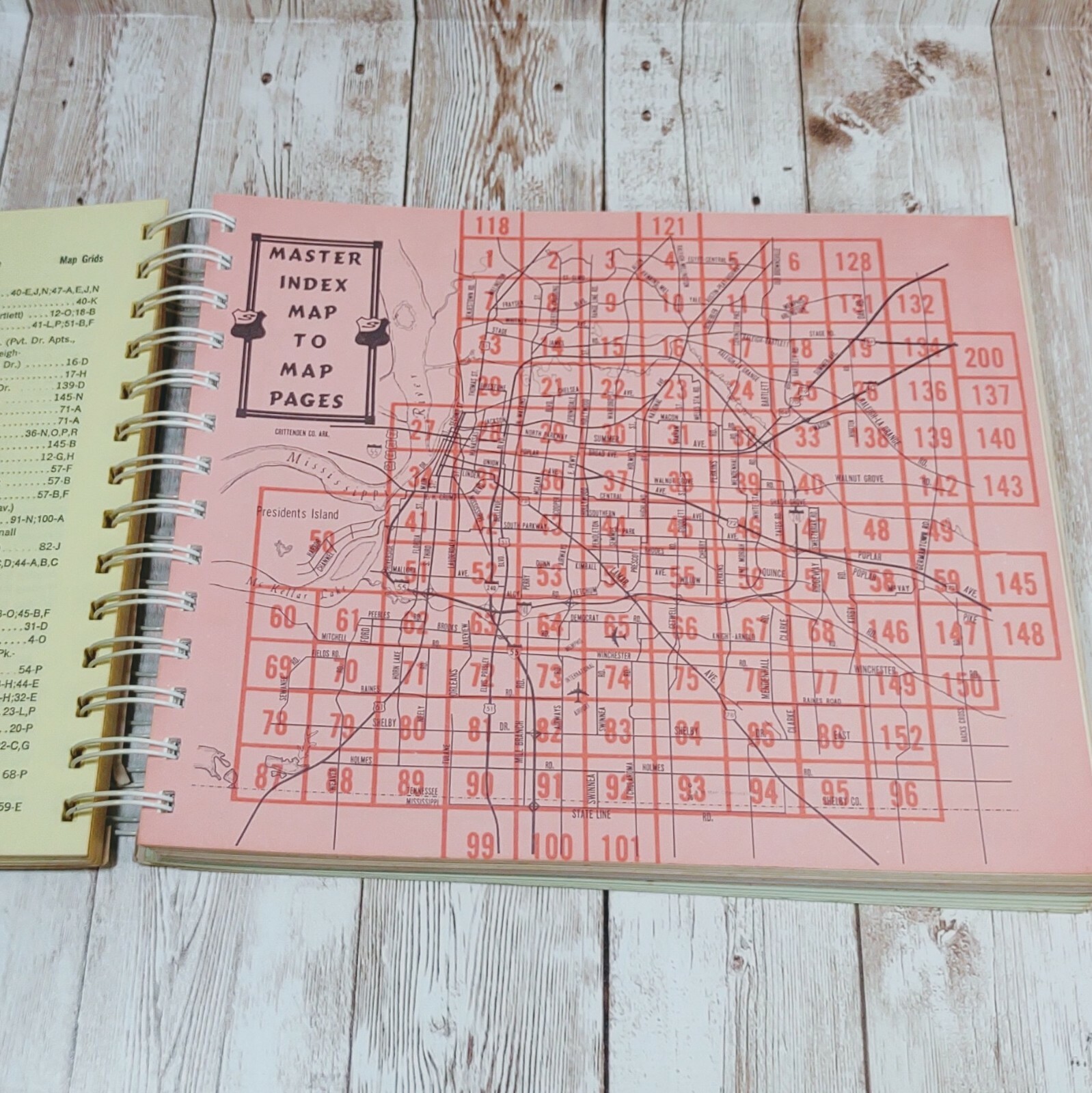
I know I speak for millions of the geographically astute who swear by the paper map. We have loved maps from our youth. Enjoyment as a kid was spreading a map out on a table or the floor, running our fingers over the rivers and boundaries, or sitting with a road atlas in our laps, learning highway numbers, memorizing the names of towns and lakes and rivers.
We loved geography in general. We put together our first United States puzzle map before we got to first grade; no teacher had to badger us to learn our states and capitals — we were already doing Europe by second grade. Our favorite part of social studies was the early explorers — all those routes of Magellan and Cabot and Hudson and Coronado, snaking across the schoolbook maps.
We’re the ones who insist on stopping at the state-border welcome center to pick up the free map; the ones who scavenge through the hotel brochure display looking for maps; the ones following the route on long-distance trips via the trusty road atlas in our hands; the ones springing for a new one every year.
Back in the day, oil companies offered free state and city maps. You could walk into service stations and pull them out of a rack, as many as you wanted. Mobil, Exxon, Sinclair, Texaco, and their fellows would send you maps if you said you were taking a trip: individual maps of all the states you were traveling through, and even some city maps. I requested so many that eventually the companies’ “map departments” recognized me and started sending me regional maps — southeastern United States, midwestern United States — instead of the individual state maps, to save on their map overhead, no doubt. I had more road maps than other kids my age had baseball cards.
After I got out of school, while my buddies were covering their walls with Farrah Fawcett and Jimi Hendrix posters, the walls of my first apartment were plastered with 3-D raised plastic relief maps of individual Western states — quite the chick magnet, that. The fall of the Soviet Empire was a great triumph for lovers of democracy the world round, but it also provided the opportunity to buy a new atlas and a new globe!
Ken Jennings’s wonderful book Maphead made me angry only because I wish I had written it. Like the Jeopardy! star, I see the shapes of states and countries in natural phenomena, like cumulous clouds or water puddles. We map nuts see them everywhere. Jennings saw Thailand in Mikhail Gorbachev’s birthmark; I see a profile of Richard Nixon when I look at a map of Alaska — his nose, the Seward Peninsula.
On top of all that, I never get lost. Well, almost never. On rare occasions a river town has gotten the best of me — a St. Louis, a Pittsburgh. And Sydney, Australia, where I spent a year, befuddled me entirely; the combination of the sun being in the north and the ocean in the east (I had come from San Diego), and main roads being built over long-gone meandering cow trails, humbled me on a regular basis. But plop me down in the quintessential, grid-based American city — an Indianapolis, a Houston, a Phoenix — and I couldn’t get lost even if I tried.
All this made me a much-desired travel partner, riding shotgun, a road map unfolded in my lap, always aware of exactly where we were, directing the driver when to turn and which road to take with far more authority than that carried by a robotic voice coming out of the dashboard.
But now, all that is gone. I’ve been rendered useless, redundant, superseded by a smartphone app and any Tom, Dick, or Harriet who frequently gets lost in a mall but can type an address into Google Maps.
But weep not for me; I’ll be in the back seat taking a nap. Weep instead for those whose sense of geography will be confined to what they see when they spread their fingers on a 5 inch by 3 inch screen to zoom in, and draw their fingers together to zoom out, losing in the process all sense of place, of proximity, of the larger geographical landscape, of the forests, lakes, historic sites, side roads, and state parks they’ll drive by on the way. Weep for future generations who will never experience the joy of holding a heavy, bound book of maps in their laps and letting their wanderlust take them away, to places with exotic names, to Reykjavic and Tierra del Fuego and every place in between. Weep for those who will never experience the thrill of planning the big drive, the leave-at-3 a.m.-cross-country junket, poring over the maps beforehand … maybe even Magic Markering the route and designating the scenic side trips. Weep for those not raised in an environment where the simple act of perusing paper maps can broaden their outlook and knowledge of places, their geographical gestalt, and make their world that much more interesting.
And weep, moreover, for those who will never learn to properly refold a paper map.
Link
Having only been there a handful of times, Ruidoso isn't that hard to navigate. Digital is going to get us all killed.
|
|